For More Information Call:
866-395-5440
- Johnny Thompson – Sales
- Darian Yawn – Support
- Mark Books – Geospatial Services
- Claire Hillmeyer – Client Success
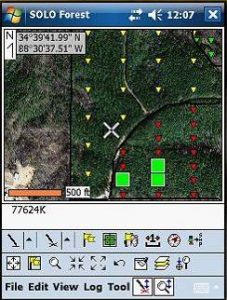 Come learn how to use the Solo Forest GPS program to collect points, lines, and areas; use photos and topos in the field; create cruise grids; navigate to cruise plots; input survey data and navigate to corners; heads-up digitize in the field; export shapefiles; and make simple maps.
Free Downloadable Manuals will be included with your Video Training Classes.