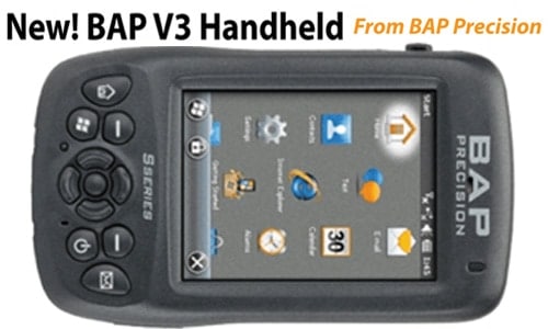
New! BAP V3 Handheld
From BAP Precision
Available with the latest technology, the S-series is built to withstand the harshest environments.
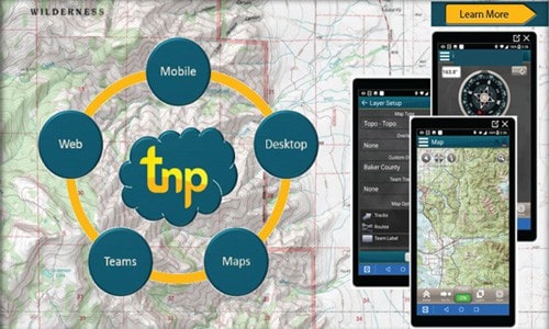
Terrain Navigator Pro
Find out about your Free Trial.
Start mapping in minutes – TNP makes mapping easy! We are excited to offer our customers a FREE SEVEN DAY TRIAL!
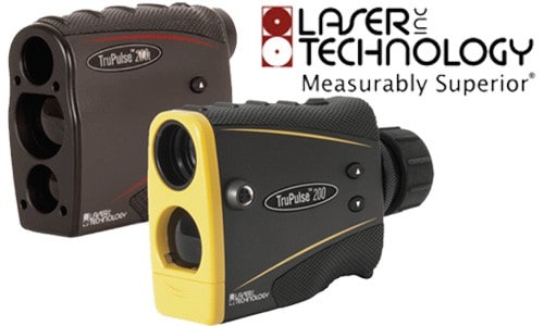
TruPulse 200L and TruPulse 200 Models
New from Laser Technology Inc.
Building on the previous Legacy series, these new models provide unparalleled accuracy and performance
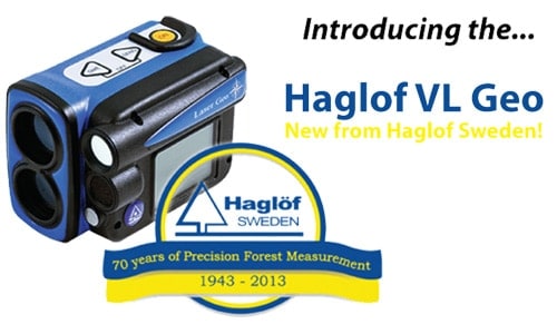
Haglof VL Geo
New from Haglof Sweden!
Measure, map, process, and store with the Vertex Lase Geo!
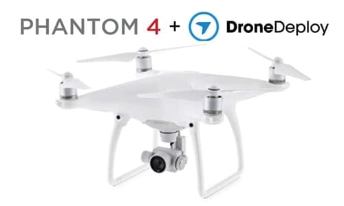
Phantom 4 + DroneDeploy
LMSS is proud to offer the Phantom 4, now with DroneDeploy!
TCruise Pro
Newly updated TCruise desktop and handheld versions for all users.
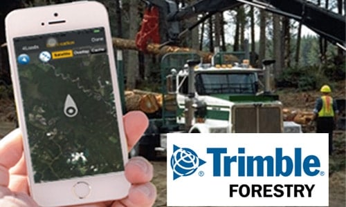
Trimble 4Loads
Digital load ticketing
Track crews, volumes, mill deliveries on an iOS and Android phones.
LMSS EZ Plot
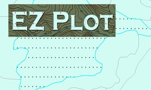
EZ Plot is a Toolbar that runs within ArcGIS, and allows inventory planners the ability to layout inventories on a single stand or multiple stands quickly an easily.
What Other Are Saying
[gts-slider]
Thank you for your interest in LandMark Spatial Solutions. Our simple goal in business is to help companies like yours become more profitable through the use of technology. We have developed industry-leading GPS and Forest Inventory solutions that are helping our clients MINIMIZE ERRORS and be more ACCURATE in their acreage, tree count, tree measurement, and timber volume estimations, be more EFFICIENT in the field and office, and achieve more PROFESSIONAL results at the end of the day. Please continue touring our website if you need help or are interested in any of the following areas:
- GIS-based Forest Inventory Design and Analysis
- Using GPS under dense forest canopy to get accurate acres for procurement, site prep, and reforestation
- Using GPS to navigate to cruise plots
- Cruising more timber per day
- More accurate tree counts and heights on a plot
- Inputting cruise data more efficiently in the field
- Being more accurate and faster on volume calculations
- Making better maps more quickly
- Managing landholdings and inventories using ArcGIS
- Measuring and calculating volumes of chip piles and log decks
- A better way to enter, reconcile, and report Load Tickets and and Scale information
- Using drones/UAVs for forest inspection and mapping
For a complete overview of the solutions we provide, view our Solutions Overview here: Landmark Spatial Solutions Info


