 7.5 CFE Contact Hours, Category 1
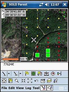
Come learn how to use the Solo Forest GPS program to collect points, lines, and areas; use photos and topos in the field; create cruise grids; navigate to cruise plots; input survey data and navigate to corners; heads-up digitize in the field; export shapefiles; and make simple GIS maps.