 Highlights
- Track and trace where timber harvesters are operating
- Display cutter position on an on-board computer with harvest plans in the background
- Provides an audible and visual warning based on proximity to defined sensitive boundaries
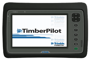
Product Information
TimberPilot provides a 7″ tablet display of the harvest site and displays the cutting machine location in relation to tract boundaries and other environmentally sensitive areas (such as stream-side management zones). TimberPilot will give both an audible and visual alert to the cutter operator if the cutting machine encroaches on an area where it should not go. TimberPilot has a immediate return on investment impact to loggers who use the system since cutting timber over property line boundaries or in restricted environmental areas often lead to high value fines.
Key Features
- View position of harvester machinery in relation to tract boundaries and sensitive area boundaries
- Receive audible and visual alerts when machinery encroaches on these boundaries
- Collect continuous GPS positions on where machinery has been
- Use multiple background maps to assist with navigation and decision making
- Measuring tools for the operator to minimize skidding paths and assist in thinning layouts
- Fully compatible with SOLO 360 for preparing background maps and boundary data from ArcGIS
- Large buttons for quick and easy access to common functions
- Set up and manage boundary alerts for multiple polygons
- Boundary alerts can be configured to be external (stay within this defined area) or internal ( stay out of the defined area)